Skip to content
Sierra Nevada Guide

Hikes in Sierra de Huetor

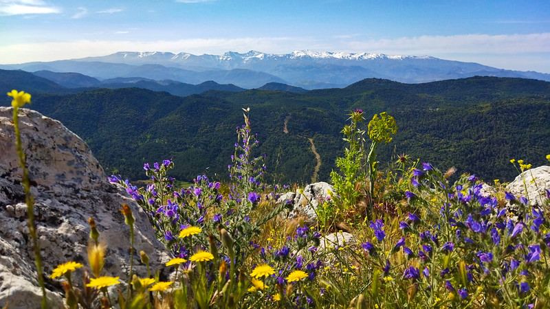
Walks in the Sierra de Huétor, with views south to the Sierra Nevada from Peña de la Cruz and the Majalijar ridge.

Quieter hills to the north of the Sierra Nevada, on pine slopes and faint tracks, with wide views back to the high peaks. The routes climb the Majalijar ridge, Peña de la Cruz, Cerro del Corza and the Peñón de la Mata.

All routes

Cañada Senero and Cerro Gorzo

Moderate

Cañada Senero and Cerro Gorzo

Sierra de Huetor
Distance
15 km
Ascent
596 m
Time
5 hrs

Optimal months: Mid-Sep to Mid-Jun

Map 3D Guide Photos

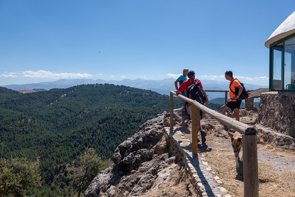
This walk in the Sierra de Huetor, combines the Canada del Senero with an off piste ascent of Cerro del Corza 1606m. Cerro del Corza is a wonderful viewpoint for not only the Sierra Nevada, but also the Majaliar and Peñon de la Mata peaks. A lovely forest walk.

Majalijar ridge

Moderate

Majalijar ridge

Sierra de Huetor
Distance
9 km
Ascent
527 m
Time
5 hrs

Optimal months: Jan to Dec incl

Map 3D Guide Photos

This walk is often just on faint goat tracks. We ascend from near the Puerta de la Moro northwards through pine forests before breaking out onto open hillsides.

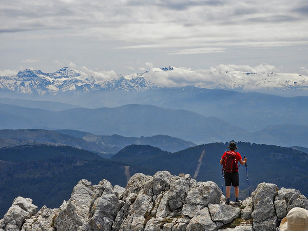
Faint tracks lead up to the ridge which leads to the reigning peak of Majalijar. The ridge is rocky but mainly easy walking on limestone escarpment. Great views guaranteed southwards to the Sierra Nevada.

From the summit we drop steeply down north before traversing round the eastern shoulder of the ridge and entering the forests once again. A final drop down to the car makes a very entertaining and interesting circular route.

Peña de la Cruz

Challenging

Peña de la Cruz

Sierra de Huetor
Distance
8 km
Ascent
611 m
Time
5 hrs

Optimal months: Jan to Dec incl

Map 3D Guide Photos

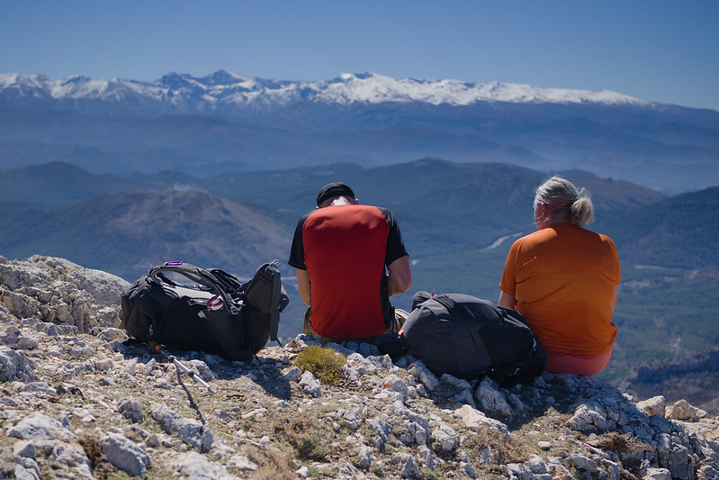
The Peñon de la Cruz is one of the finest viewpoints in these hills, especially to the Sierra Nevada in the south. It's not an easy climb from the village of Prado Negro either, especially the last half a kilometer to the summit. It's one of the unknown gems of this range and to be thoroughly recommended.

Peñon de la Mata

Moderate

Peñon de la Mata

Sierra de Huetor
Distance
7 km
Ascent
400 m
Time
5 hrs

Optimal months: Mid-Sep to Mid-Jun

Map 3D Guide Photos

The Peak of the Dead rises behind the town of Cogollos Vega and makes a very pleasant circular day walk. The mountain from a distance looks impregnable, but a gentle path ascends to a col where a wonderful surprise awaits, the whole of the Sierra Nevada range spread out before you to the south!

The ascent to the peak is a bit loose and rocky, but nowhere involving the use of hands. The view from the summit is superlative. We return to a small col and take a traverse path below dramatic cliffs which encircle the mountain.

The valley north of the Penon de la Mata is agricultural but has a very wild and unkept feel. Few others will be met. A little gem and yet, so close to the centre of Granada.